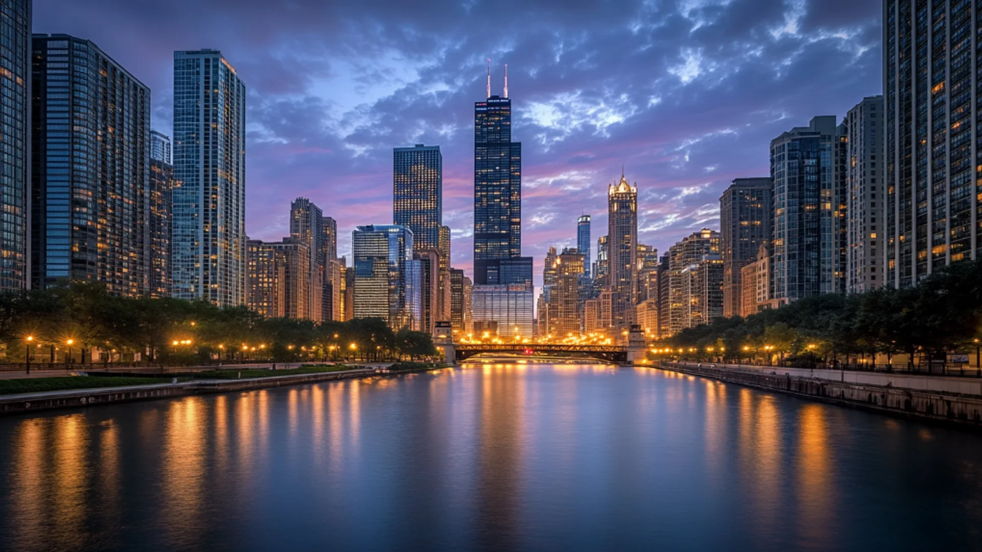
A 2.7-mile elevated trail built on a former Bloomingdale Line railroad embankment, connecting Wicker Park, Bucktown, Humboldt Park, and Logan Square at treetop height above the surrounding neighbourhoods. The 606 (named for Chicago's shared zip code prefix) opened in 2015 and became the city's most popular linear park — a car-free corridor for runners, cyclists, and walkers offering a perspective on the Northwest Side available nowhere else: rooftops, backyards, church steeples, and the downtown skyline framed at the eastern end. The trail has also accelerated gentrification along its route, raising property values and displacement concerns — both a public amenity and a case study in the unintended consequences of urban improvement.
Location
Wicker Park to Logan Square, Chicago
Map
Insider Intel
Walk or bike the entire 2.7 miles from the eastern trailhead at Ashland Avenue (Wicker Park) to the western terminus at Ridgeway Avenue (Logan Square). The Exelon Observatory at the trail's midpoint has telescopes and the best skyline view. Stop at the access points to drop into the neighbourhoods below — Humboldt Park to the south, Bucktown to the north. At the eastern end, the skyline vista through the Walsh Park portal is the trail's defining view.
Weekday morning at 8am for runners and the quiet energy of the trail before it fills. Weekend afternoons are crowded with families, cyclists, and walkers — pleasant but slow-moving. Sunset from the Exelon Observatory, with the skyline catching the last light, is the most photogenic moment. The trail is open 6am to 11pm year-round, including winter, though snow and ice make it treacherous in January.
Free, open to the public, no admission. Access points at multiple cross streets along the route. The trail is shared by pedestrians and cyclists — stay right, pass left, and be aware of bikes moving fast. Divvy bike-share stations at several access points make one-way rides practical. The trail is elevated roughly 15-20 feet above street level, which creates the unique perspective but also means limited shade in summer. Water and restrooms are available at the park areas along the route but not on the trail itself. The gentrification conversation is real and ongoing — the trail has measurably increased property values in adjacent blocks, and the displacement of lower-income residents is documented.